Flood prediction · check first
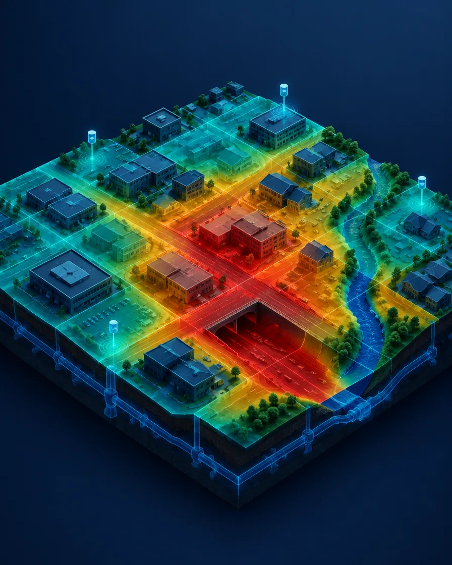
- A map of past flood locations: underpasses, semi-basements, low-lying roads
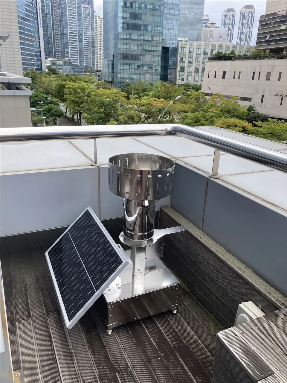
- Field rainfall observation near risk points (every minute)
- Zone-level flood risk analysis combined with terrain and drainage data
- A monitoring screen where staff see predictions immediately
Flood prevention · turn it into action
- Staged alerts matched to institutional thresholds (advisory, warning)
- Vulnerable residents matched with evacuation support staff in advance
- Agreed criteria for underpass closures and facility checks
Prediction vs prevention
| Flood prediction | Flood prevention | |
|---|---|---|
| Goal | Know when and where risk will rise | Act before damage happens |
| Key data | Field rainfall, terrain and drainage | Residents, staff and facilities |
| Output | Risk level by zone | Alerts, dispatch, closures, evacuation complete |
Often missed
- City-average rainfall misses the hot spots of local downpours
- Alerts without clear roles—who does what—lead to late action
- Platform alerts do not replace official warnings
Sources
- Early Warnings for All — United Nations, 2022
- Sendai Framework for Disaster Risk Reduction 2015–2030 — UNDRR, 2015
- Climate Change 2021: The Physical Science Basis — IPCC Working Group I (AR6), 2021