
Blog · Insights
Climate, disasters and a city’s rain
Summary
Extreme rainfall, early warning, urban flooding and observation technology, explained with sources from international and public institutions.
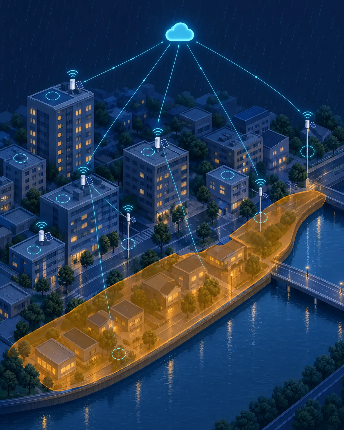
Where to put a rain gauge: choosing sites with climate and GIS data
A rain gauge records the same rain differently depending on where it stands. Here is how WOOZZA reviews candidate sites with Ladybug for climate analysis, Meerkat GIS for spatial data and Elk for 3D city modelling.
Read →
How climate change is reshaping rain: what IPCC AR6 says about extreme precipitation
A warmer atmosphere holds more water vapour, and the rain it releases at once gets heavier. Drawing on the IPCC Sixth Assessment Report, we summarize how extreme precipitation is changing and what cities need to prepare.
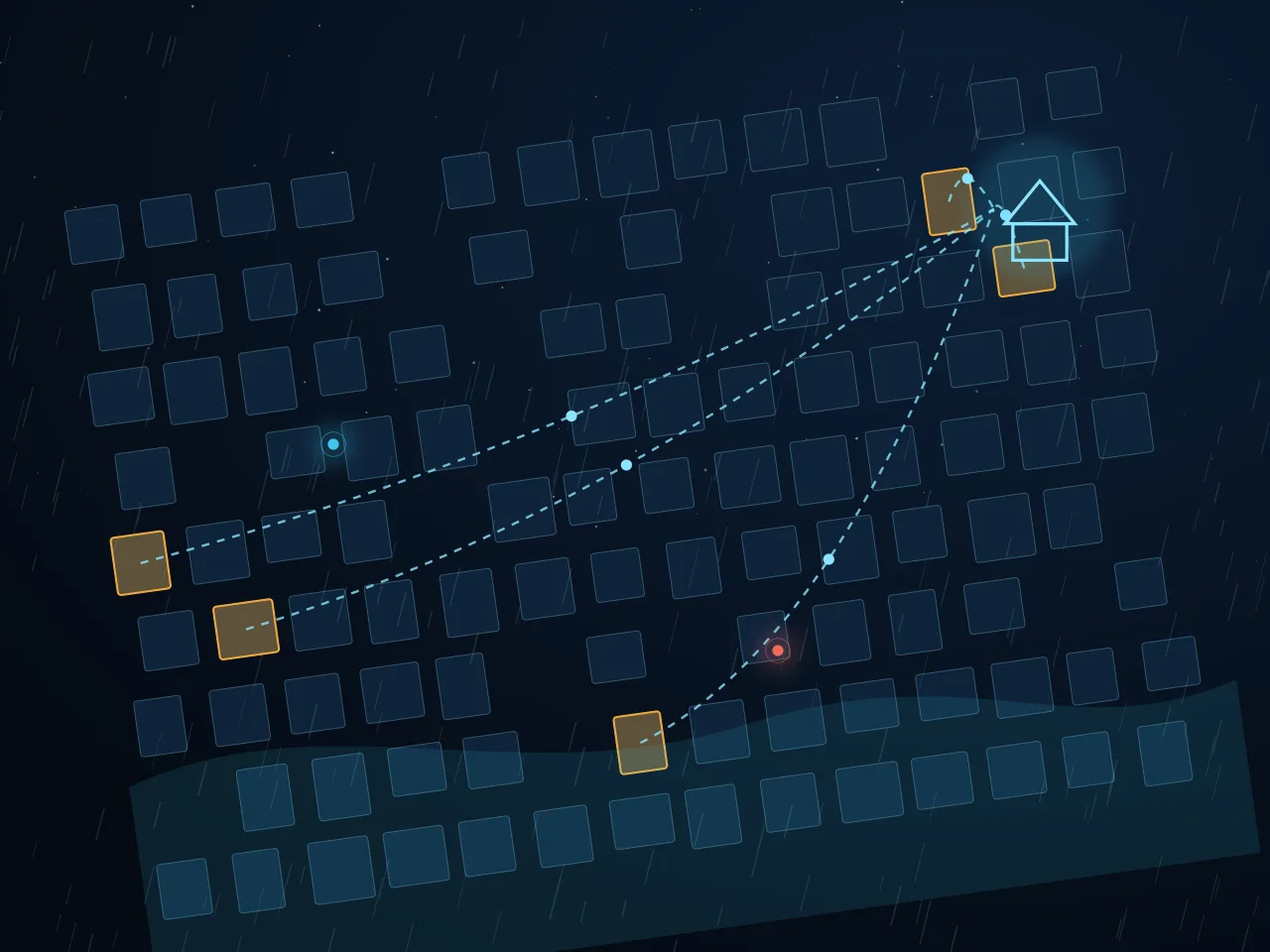
Early Warnings for All: the four pillars of an early warning system
The UN has set a goal for everyone on Earth to be protected by early warning by 2027. We look at what an early warning system needs to work, through its four pillars.
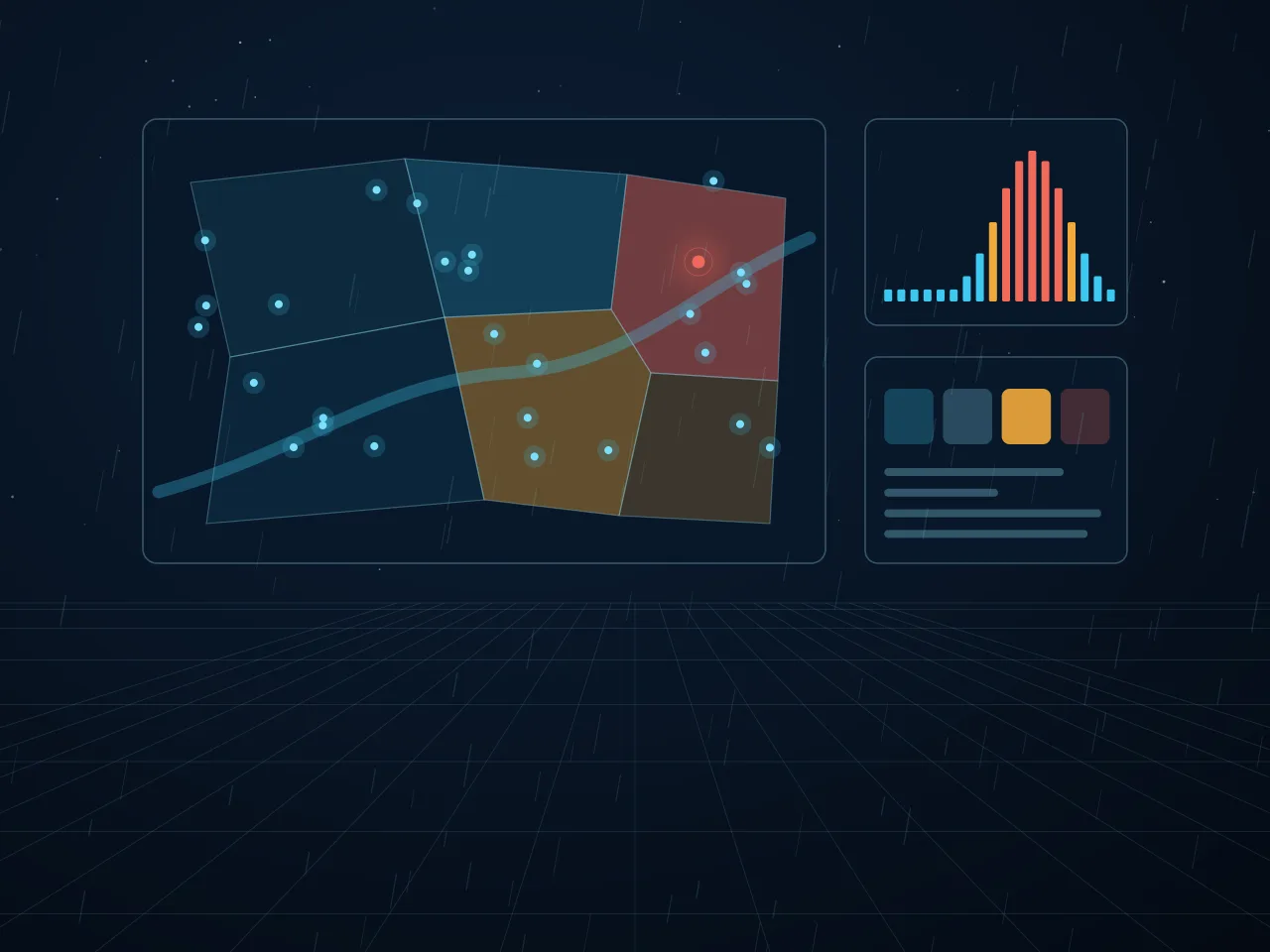
Questions from Seoul’s August 2022 downpour: same city, different rain
On 8 August 2022, 141.5 mm of rain fell in one hour in Dongjak-gu, Seoul. The rain was concentrated in particular districts, not the whole city, and the damage concentrated where water collects.
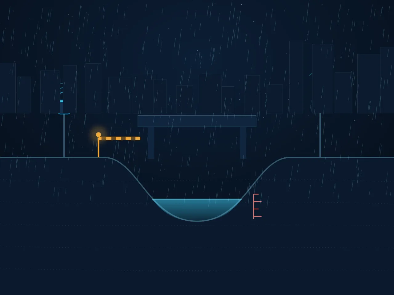
Why cities flood faster: impervious surfaces, drainage capacity and time
The same rain makes water rise faster and higher in a city than in a forest. We explain why urban flooding escalates so quickly, and why minute-level observation matters.
Read the Rain. Protect What Matters.